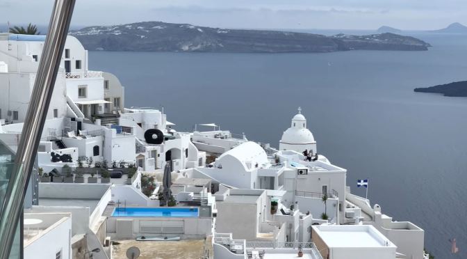
touropia (January 31, 2024) – One of the main places Europeans head on holiday, the Mediterranean is full of idyllic islands. Thought to number around 10,000 in total, their warm, sunny weather, sandy beaches and sumptuous food see many millions visit each summer.
Bordered by countless countries from Europe, Asia and Africa, the immense sea and all its islands have played a massive role in the history of Western civilization. Often boasting gorgeous scenery or crystal-clear waters, they’re the perfect place to relax and unwind in spellbinding settings. Here’s a look at the most beautiful islands in the Mediterranean.