
Nevada, constituent state of the United States of America. It borders Oregon and Idaho to the north, Utah to the east, Arizona to the southeast, and California to the west. It ranks seventh among the 50 U.S. states in terms of total area. It also, however, is one of the most sparsely settled. Carson City, in the western part of the state, is the capital. Nevada became the 36th state of the union on October 31, 1864.
Tag Archives: Western United States

Timelapse Views: Canyons & Colors Of Moab, Utah
Filmed and Edited by: Ron Risman
This is Moab is a film that was designed to highlight the wide variety of landscapes that you can experience when you visit Moab, Utah – and most of these locations are not located in Arches or Canyonlands National Parks.
Moab Utah is a many things to many people, but what ever it is that brings you to Moab (vacation, off-roading, rock climbing, biking, hiking, photography, painting, rafting, camping) you may not realize that if you just visit the two national parks (Arches and Canyonlands) you’re missing out on 98% of what Moab has to offer.
The Bureau of Land Management (BLM) in Moab manages over 1.8 MILLION acres of breathtaking red rock canyons, cliffs, fins, spires and hoodoos – and all of this public land is located outside of the National Parks.
Then there’s the LaSal Mountains, the second largest in all of Utah – with elevations reaching 13,000 feet. Tired of the 100 degree desert heat? Take a drive on the LaSal Mountain Loop Rd and enjoy cooler weather and spectacular mountain scenery.
Moab, Utah is one of the most amazing locations you can visit – whether you’re seeking adventure, solitude, or anything in between. If you’re a painter, photographer, hiker, biker, rock climber, rafter, off-roader, or traveling in an RV or camper – Moab has what you’re looking for. As a photographer Moab offers some of the finest landscapes anywhere on earth – with millions of acres of red-rock sandstone arches, spires, fins, canyons, and hoodoos.
Moab is also home to the second tallest mountain range in Utah – the La Sal Mountains with peaks reaching over 13,000 feet in elevation. Often these peaks are snow-capped even in the spring and early Summer – making for a beautiful contrast between desert landscape and mountains. In summer take a short 1 hour drive from the desert climate of Moab with temperatures near 100 degrees to sitting under an Aspen grove on the La Sal mountains with temperatures in the mid 70’s.
Love stargazing? You’ll love the dark skies around Moab. Head into Arches National Park, Canyonlands National Park, or Dead Horse Point State Park and enjoy some of the darkest skies in the country. The International Dark Sky Association has designated these locations as dark-sky parks, and you’ll soon discover why. But don’t stop there – anytime you leave town, you’ll discover that the lack of any significant light pollution and the dry high-desert climate ensures a wonderful view of the night sky on most nights. You’ll also be happy to know that Moab is also one of the safest places to hang outdoors – as there really isn’t much in the way of predatory wildlife.

Timelapse: Bryce Canyon National Park In Utah (4K)
Bryce Canyon National Park, a sprawling reserve in southern Utah, is known for crimson-colored hoodoos, which are spire-shaped rock formations. The park’s main road leads past the expansive Bryce Amphitheater, a hoodoo-filled depression lying below the Rim Trail hiking path. It has overlooks at Sunrise Point, Sunset Point, Inspiration Point and Bryce Point. Prime viewing times are around sunup and sundown.
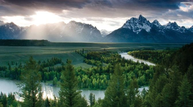
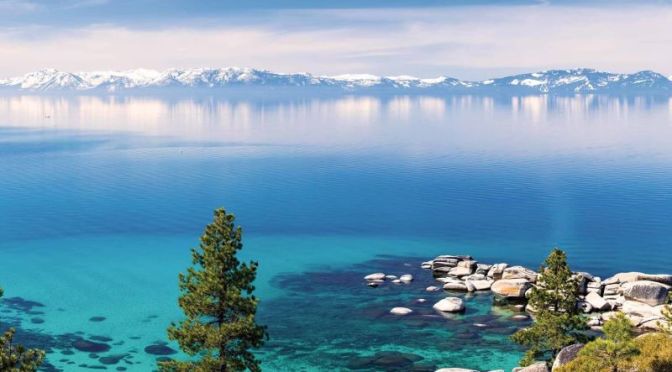
8K Views: Landscapes & Wilderness Of Wyoming
Wyoming is a state in the Mountain West subregion of the Western United States. The 10th largest state by area, it is also the least populous and least densely populated state in the contiguous United States.
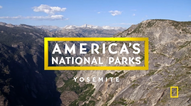
National Parks: Yosemite (National Geographic)
Yosemite National Park, scenic mountain region in east-central California, U.S. It is situated about 140 miles (225 km) east of the city of San Francisco and some 100 miles (160 km) southeast of Sacramento. Devils Postpile National Monument lies about 15 miles (25 km) to the east, and Kings Canyon National Park is about 40 miles (65 km) to the southeast. The park, surrounded on all sides by national forest lands, encompasses 1,189 square miles (3,080 square km). It was designated a UNESCO World Heritage site in 1984. Park headquarters are located at Yosemite Village in Yosemite Valley, in the west-central part of the park.
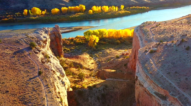
Aerial View: Landscapes Of Western Colorado & Utah
A landscape aerial film shot in Western Colorado and Utah, USA, featuring our beautiful planet during all four seasons. This project was shot during the last two years in remote locations.
Utah Views: Landscapes, Landmarks & Cities (8K)
Utah is a state in the Mountain West subregion of the Western United States. Utah is a landlocked U.S. state bordered to its east by Colorado, to its northeast by Wyoming, to its north by Idaho, to its south by Arizona, and to its west by Nevada. Utah also touches a corner of New Mexico in the southeast.
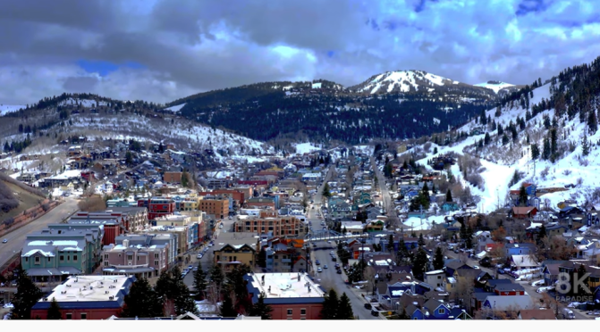
Video timeline: 0:00 1. Salt Lake City skyline at sunset with mountains behind 0:08 2. Park City Mountain Resort, Utah 0:16 3. Utah mountain landscape 0:22 4. Park City Mountain Resort 0:30 5. Horses at Zion National Park 0:38 6. Road through the desert and mountains of Utah 0:47 7. Amazing rock formations in Utah 0:56 8. Salt Lake City at night 1:03 9. Amazing rock formations in Utah 1:11 10. Utah Arches National Park on a sunny day 1:18 11. Stormy desert buttes and river near Moab, Utah 1:26 12. Butte landscape, Utah 1:34 13. Salt Lake City, Utah 1:40 14. Pink cliffs in Snow Canyon State Park, Utah 1:49 15. Salt Lake City capital building 1:57 16. Stunning red sandstone hoodoos in Bryce Canyon National Park 2:07 17. Colorado river highway 128, Utah 2:18 18. Salt Lake City skyline and cathedral 2:29 19. The Mars Desert Research Station (MDRS) in Utah 2:36 20. Colorado river highway 128, Utah 2:46 21. Sunny dry desert towards big rocky mountains and clear blue sky in Utah 2:55 22. Salt Lake City capitol building city skyline 3:03 23. Peaceful reflective water between canyons in Lake Powell 3:13 24. Salt Lake City Assembly Hall from Latter-day Saints 3:23 25. Mountain landscape in Utah 3:42 26. Cliff edge in Southern Utah 3:48 27. Utah Arches National Park at sunrise 3:58 28. Lake Powell rock formations and canyon walls 4:10 29. Salt Lake City skyline at sunset with mountains 4:20 30. Butte factory in Utah 4:30 31. Mexican Hat rock formation in Utah 4:41 32. Red Rock Mesa mountain cliffs in Red Rock desert, Utah 4:48 33. Utah Arches National Park on a sunny day 5:02 34. Lake Powell with canyons in the background 5:13 35. Salt Lake City capitol building 5:25 36. The Mars Desert Research Station (MDRS) in Utah 5:34 37. Utah mountain landscape 5:50 38. Winding road leading to unique Bears Ears, Utah 6:01 39. Rock formations in Paria, Utah 6:12 40. Texas Gulf Potash Pond One in Utah 6:28 41. Juniper trees in a vast desert in Central Utah 6:35 42. Red rock buttes and cliffs in Utah 6:49 43. Colorado river in the desert, Utah 7:04 44. Salt Lake City, Utah 7:27 45. Road in beautiful desert, Burr Trail canyon 7:33 46. Antelope Island, Utah 7:47 47. Empty desert road at sunrise in Monument Valley, Utah 7:59 48. Stunning red sandstone hoodoos in Bryce Canyon National Park 8:14 49. Utah Arches National Park on a sunny day 8:20 50. The Mars Desert Research Station (MDRS) in Utah 8:34 51. Utah Arches National Park at sunrise 8:41 52. Texas Gulf Potash Pond One in Utah 8:58 53. Utah Arches National Park at sunrise 9:06 54. Grand Canyon at Utah border 9:20 55. Rock formations in Paria, Utah 9:39 56. Famous sunny American desert highway road in Monuments Valley 9:53 57. Salt Lake City, Utah

Front Covers: Colorado Life Magazine – Sep 2021


California Drought: Lake Oroville’s Stunning Water Loss In Photos (2014 – 2021)
Getty Images photojournalist Justin Sullivan has been following California’s second-largest reservoir’s declining water levels since 2014. Seeing first-hand the climate’s impact through his lens, he’s shocked at how fast the water is gone in one of California’s most important water sources.

Views: 145th Anniversary Of The State Of Colorado
Colorado Day is celebrated on Aug. 1 each year to commemorate President Ulysses S. Grant’s signing of a proclamation admitting Colorado as a state and this year’s event marks the Centennial State’s 145th “birthday.”
