

Patagonia, semiarid scrub plateau that covers nearly all of the southern portion of mainland Argentina. With an area of about 260,000 square miles (673,000 square kilometres), it constitutes a vast area of steppe and desert that extends south from latitude 37° to 51° S.
It is bounded, approximately, by the Patagonian Andes to the west, the Colorado River to the north (except where the region extends north of the river into the Andean borderlands), the Atlantic Ocean to the east, and the Strait of Magellan to the south; the region south of the strait—Tierra del Fuego, which is divided between Argentina and Chile—also is often included in Patagonia.

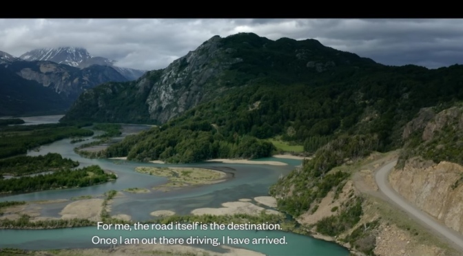
Desert and semidesert cover the Patagonian tableland that extends from the Andes to the Atlantic Ocean. The general aspect of this tableland is one of vast steppelike (i.e., virtually treeless) plains, rising in terrace fashion from high coastal cliffs to the foot of the Andes; but the true aspect of the plains is by no means as simple as such a general description would imply. The land along the Negro River rises in a series of fairly level terraces from about 300 feet (90 metres) at the coast to about 1,300 feet at the junction of the Limay and Neuquén rivers and 3,000 feet at the base of the Andes. The tableland region rises to an altitude of 5,000 feet.
South of the Negro River, the plains are much more irregular. Volcanic eruptions occurred in this area until fairly recent times, and basaltic sheets covered the tableland east of Lakes Buenos Aires and Pueyrredón. Near the Chico and Santa Cruz rivers, the plains have spread to within about 50 miles (80 kilometres) of the coast and reach almost to the coast south of the Coig and Gallegos rivers. In places, basaltic massifs (mountain masses) are the salient features of the landscape.
