Tag Archives: Backpacking

Views: Backpacking In The Southern Lofoten Islands

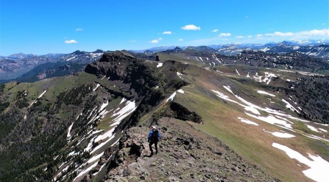
A 3 day backpacking trip to climb Hermannsdalstinden Pinnacle, the highest mountain in the southern part of Lofoten.

Lofoten, island group, in the Norwegian Sea, northern Norway. Lying off the mainland entirely within the Arctic Circle, the group comprises the southern end of the Lofoten-Vesterålen archipelago and includes five main islands (Austvågøya, Gimsøya, Vestvågøya, Flakstadøya, and Moskenesøya) extending about 70 miles (110 km) from north to south. In addition, there are many small islands and skerries (rocky islets and reefs). The total length of the archipelago is about 110 miles (175 km).

A broad and deep fjord, the Vesterålsfjorden, lies between Lofoten and the mainland. The islands, composed of volcanic rocks (gneiss and granite), are the highly eroded tops of a partially submerged mountain range. The highest peak is Higravtinden (3,760 feet [1,146 metres]) on Austvågøya. North of the Arctic Circle, the islands are washed by the warm North Atlantic Current, which tempers their climate.

Off-Trail Hiking: ‘Absaroka Beartooth Wilderness’, Southwestern Montana

These are some of the highlights from a 5 day off trail backpacking traverse in Montana’s Absaroka Beartooth Wilderness, which sits directly north of Yellowstone National Park.

Video timeline: 00:00​ intro 00:49​ start of hike 01:58​ Mount Wallace 04:46​ dropping down to Hellroaring Creek 06:30​ wolverine 08:10​ Crow Mountain 09:17​ Bridge Lake 12:15​ The Crux of the route 14:22​ The Pyramid

Absaroka–Beartooth Wilderness was created from existing National Forest lands in 1978 and is located in Montana and Wyoming, United States. The wilderness is partly in Gallatin, Custer and Shoshone National Forests and is composed of 944,000 acres.

Backpacking Travel Video: Western Norway, Fall 2020

Backpacking Western Norway in the fall of 2020, peaceful solo hiking in the Norwegian Mountains of Sirdal, Hilleknuten, Bergehei, Fidjeland, a journey through amazing views and waterfalls.

New Travel Video: ‘Mount Whitney – Backpacking Highest Peak In Lower 48’

Hiking Mount Whitney from Guitar Lake, Crabtree Meadow,

Backpacking the Highest Peak in the Lower 48 States, 14505ft, Sequoia National Park Sierra Nevada just as Creek Fire starts. 4k60fps Mt Whitney Hiking This is part 3 of 3 of my 6 day backpacking trip from Horseshoe Meadow, Cottonwood Lakes, Army Pass, Miter Basin, Sierra High Trail, Crabtree Pass, Crabtree Lakes, Crabtree Meadows, PCT, JMT, Guitar Lake and finally summiting Mount Whitney and exciting Whitney Portal as the Creek Fire started blowing up. No drama for us, but it got pretty smoky and eerie towards the end of the trip, and so strange and beautiful at the same time, best hike I ever did was up from Guitar Lake to the Summit, with the stretch from Trail Crest being insane!

Inyo National Forest and Sequoia National Park, John Muir Wilderness and the Whitney Zone.